Back in beta! Stay tuned.

site

Weather & Site Design

A simple line drawing illustrating thoughtful site design—a sun, wavy lines for weather elements like water or wind, two round trees, a house, a pine tree, and a curved hill.

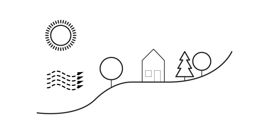
Effective site design begins with allowing the local climate and context to fundamentally influence a building's form, transcending the reliance on active mechanical systems. Best practices necessitate heeding cardinal directions, solar exposure, and wind dynamics. Furthermore, thoughtful site plantings function beyond aesthetics, offering significant energy conservation and microclimate moderation. Mastering the interplay of topography, material albedo, and wind patterns is crucial for creating sustainable and site-responsive architecture.

2025 Site Update & Future

A black and white icon shows three stacked server units with a triangular warning sign in front, signaling a server error—ideal for illustrating alerts during a 2025 site update or issues impacting future website functionality.

Archoverflow is back online after a significant 6-month overhaul, now hosted on WordPress.com for greater stability. The relaunch introduces a membership model, ensuring a viable economic future and a superior, ad-free user experience without watermarks, while also combating content porting. We are expanding resources to cover the Architectural Registration Exam (ARE) and planning a detail library, reinforcing our role as a trusted community resource for Architects and Designers.

Site Design & Layout, Streets, Utilities

A simple illustration showing a car on a road next to a sidewalk, featuring thoughtful site design with a streetlight and a person standing on the sidewalk.

Site layout planning is crucial for any land parcel's usefulness, requiring adequate circulation access and utility services like water, sewer, gas, electricity, and communication systems. Key considerations include road design, pedestrian circulation, and strategic placement of utilities to ensure seamless community access and functionality. Careful planning, from street widths to utility trunk lines, is essential for efficient and sustainable development.

Easement, Rights, and Eminent Domain

A diagram showing two simple house icons on either side of dashed lines forming an L-shaped shaded area, illustrating property boundaries, rights, or potential easement zones.

Understanding land use regulations is crucial in architecture. This resource clarifies easements, which grant specific usage rights without ownership, from utility and scenic easements to party walls and rights-of-way. It also delves into various property rights, including subsurface, air, solar, riparian, and littoral rights, alongside the government's power of eminent domain and the legal process of condemnation, providing essential knowledge for professionals.