Back in beta! Stay tuned.

area

Construction Types & Allowable Area

Two vertical bars of different heights, representing varying Construction Types, are shown side by side. Each bar has a dashed line from its top, with a double-headed arrow indicating the Allowable Area for each type.

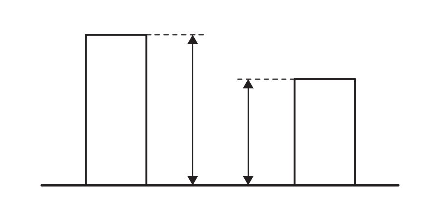
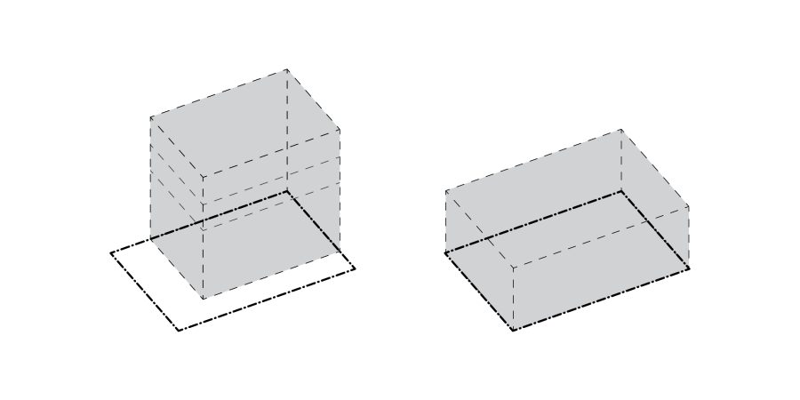
Understanding a building's construction type and occupancy group is crucial for determining its allowable area and height, as outlined by the IBC. These classifications dictate fire resistance and structural integrity, ensuring safety during an emergency. Factors like fire zones, sprinkler systems, and building frontage also play a significant role in establishing the maximum permissible size, emphasizing the interconnectedness of safety regulations in architectural design.

Floor Area Ratio (FAR)

Two transparent rectangular prisms with dashed outlines are shown, illustrating concepts like Floor Area Ratio (FAR). The upright left prism has its base slightly offset to the lower left, while the right one lies flat with its base offset to the lower front.

The Floor Area Ratio (FAR) is a fundamental regulatory tool in architecture, dictating a building's overall size by defining the ratio of its total buildable floor area to its zoning lot. Different zoning areas have specific FAR rules, establishing maximum buildable areas. While FAR sets the upper limit, various factors often lead to designs below this maximum. Understanding FAR is crucial for maximizing building potential, especially in mixed-use developments and when considering potential FAR bonuses.

Catchment Areas

Diagram with three labeled catchment areas: FACTORY in the bottom left, SHOPPING CENTER in the upper right, and PRESCHOOL in the middle right. Each is enclosed by a dashed line, with some catchment areas overlapping.

Catchment areas, the geographic zones from which participants are drawn, are dynamic and often overlapping. They can be redefined by various factors, including infrastructure changes, economic growth, and even cultural norms influencing travel time. Understanding these ever-changing boundaries—be they local, regional, or national—is crucial for urban planners and architects, as they directly impact development, resource allocation, and community design.